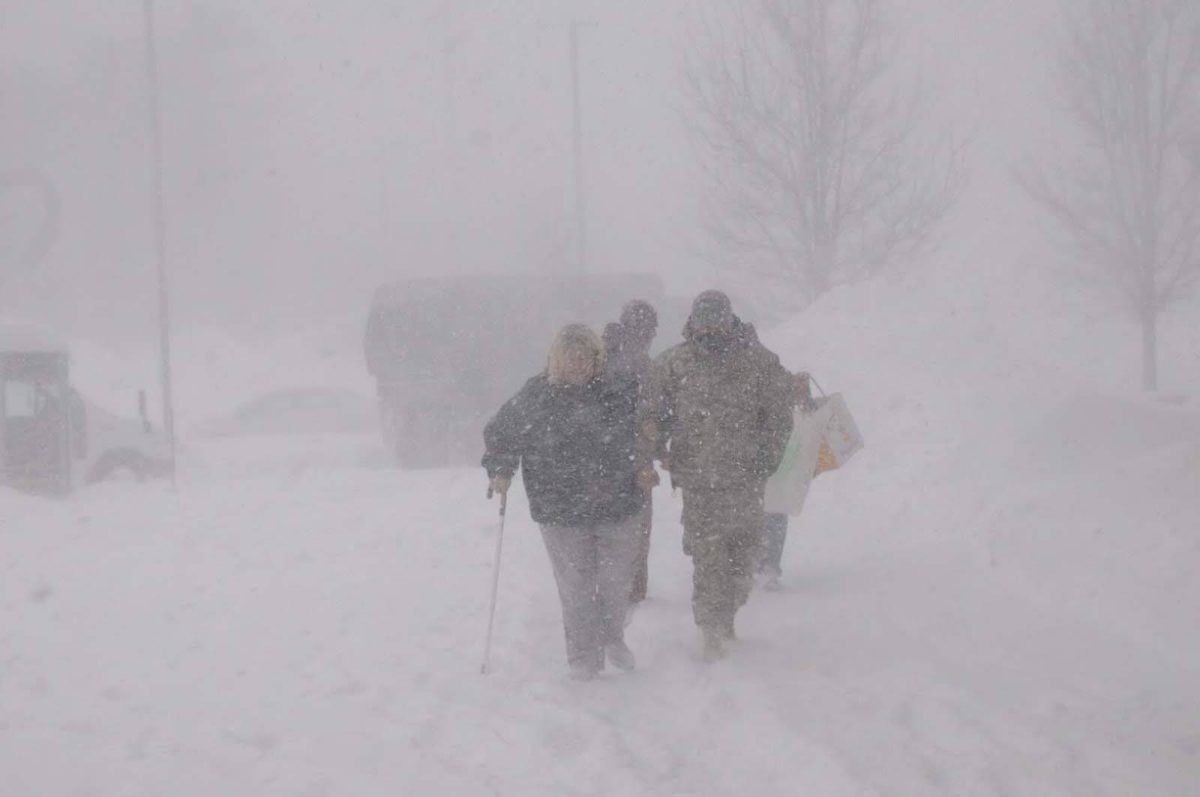
On Friday, a strong storm that was sweeping across the Plains and Midwest regions caused low temperatures and a lot of snow to fall, covering roads, forcing airports to ground, and closing schools across most of the nation. Two strong winter storm systems are expected to cross the Pacific Northwest on Monday night, bringing with them several feet of snow and blizzard conditions to the West Coast. According to the meteorological service, higher elevations in the Northern Rockies are expected to receive more than a foot of snow on Tuesday and Wednesday. More than 200 million people are covered by weather alerts from coast to coast, including 108 million for wind, 43 million for winter, and 59 million for flooding.
Temperatures below zero are possible in the Pacific Northwest due to the bitter combination of Arctic air and strong east winds. The winter storm series that left most of the nation under storm warnings and advisories on Monday came after a winter storm that dumped up to 22 inches of snow in New England over the weekend, causing travel delays and power outages throughout the Northeast.The weather service has issued extensive warnings and advisories for wind chill values, advising people to take protective measures to prevent hypothermia and frostbite. Over the next few days, the eastern half of the country is expected to see severe weather and blizzard conditions due to a storm system centered over the Rockies and the Southwest.
Like the last two storm systems, this one will not bring substantial snow to key Northeast cities because the temperatures will simply be too warm to support frozen precipitation along the coast. The threat zone is predicted to move eastward on Friday, passing through North Carolina and Mississippi. As of Monday noon, there were weather alerts in place in 49 out of the 50 states in the United States. More rain is predicted to batter the East Coast on Friday, putting at least 35 million people under flood watches from North Carolina to Massachusetts. Some portions of the region are still recuperating from the severe storms and downpours that pounded the area earlier this week. There is a serious storm threat for over 50 million people in the South on Friday. Tornadoes, hail, and strong winds are hazards for the Southeast. Authorities recommended delaying any non-essential travel.
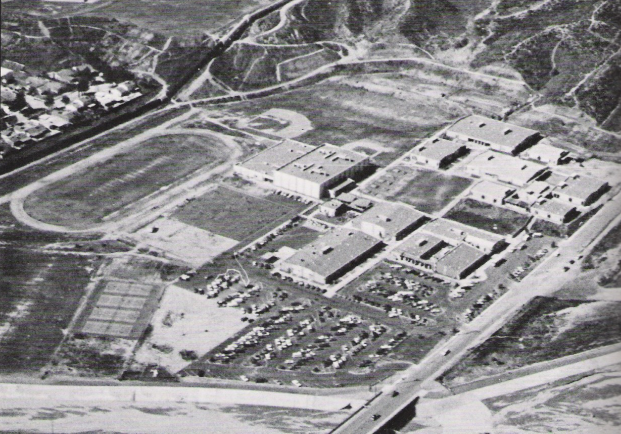
Up to a foot of snow had fallen by Monday morning in southern Nebraska, where there were blizzard warnings extending from northeast Arizona. According to the meteorological service, the significant storm continued to strengthen across the Central and Southern Plains on Monday afternoon as it moved into the Midwest on Tuesday, bringing with it strong winds and a lot of snow. Due to severe weather that affected most of the country on Monday afternoon, over 700 flights nationwide were delayed and 86 were canceled. While having a conversation with a Saugus senior, Hailey McCracken, she describes her concerns: “I’ve felt Santa Clarita getting a lot colder already, and hope that this chill won’t stay for too long.”
Ahead of a winter storm that is predicted to bring freezing temperatures and inches of snow to some regions, cities throughout the nation are opening warming centers and winter shelters. After causing flooding and extremely low temperatures throughout the West Coast, a strong winter storm moved to Southern California on Saturday. It swelled rivers to dangerous levels and dumped snow in even low-lying places near Los Angeles. Snow startled inland suburbs to the east and covered the hills around suburban Santa Clarita, north of Los Angeles, in a layer of white.


